⌂ → ИсторическоеКто съел край света? Почему на старинных картах нет пустот, а есть клыки и щупальца
If you flip through a 16th-century portolan chart stored in a Lisbon archive, you will rarely find a blank white space labeled “Terra Incognita”. Instead, the uncharted waters off the coast of Tierra del Fuego swarm with horned whales, while the edges of the North Atlantic cradle multi-legged beasts with scales and human-like faces. 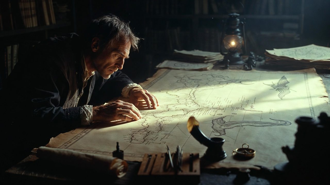
These creatures were not random doodles added by bored scribes. Cartographers of the Renaissance treated them as functional markers — not decorative flourishes. For a sailor in 1550, a drawing of a leviathan near a stretch of coast meant one thing: no one who sailed there had returned to tell the tale.
Картографическая кодировка страха
Portolan charts, the primary navigational tools for Mediterranean sailors from the 13th century onward, relied on written notes and visual symbols to convey risk. A steady wind was marked with a small feather, a rocky shore with a jagged black line. Unmapped territory got a different symbol: a beast.
The practice dated back to earlier medieval maps, but expanded rapidly as European voyages pushed beyond the Mediterranean in the 1400s. Every new expedition returned with stories of strange creatures, which cartographers rushed to add to updated editions of atlases. A single map might be revised three or four times in a decade as new monsters were added to reflect fresh reports.
The size of the monster correlated to the degree of unknown. A small, spiny fish near the Azores meant rough currents but passable waters. A massive, winged serpent stretching across the South Pacific meant certain death, or at least a journey no European had documented yet.
Whales with clawed cat paws, leviathans with forked tongues, cannibalistic humanoids — all served as graphic warnings about the unknown, not flights of fancy. A dragon curled around the entrance to the Strait of Magellan appeared on every map published after 1520. Early expeditions through the passage reported constant storms, icebergs, and mutinies. The dragon was shorthand for “treacherous, do not enter without extra rations”.
Биологическая ложь карт
Cartographers often borrowed monster designs from medieval bestiaries, then tweaked them to match sailor reports. A 1599 atlas held in the British Library shows a “sea monk” off the coast of Norway: a humanoid figure with a fish tail and a monastic cowl, described in margin notes as attacking small fishing boats.
Bestiaries, the illustrated encyclopedias of medieval animal lore, provided most of the templates. A “sea pig” from a 12th-century bestiary would reappear on a 16th-century map of the Pacific with only minor changes to its tusks. Cartographers rarely invented new monsters from scratch — they reused existing designs to keep the visual language consistent for sailors.
These drawings were not meant to be biologically accurate. They were meant to be legible at a glance, even by sailors who could not read Latin margin notes. Bold shapes and high contrast made them easy to reproduce via woodblock printing, the dominant method for mass-producing maps in the 1500s.
«Мы изобразили морских чудовищ в этих водах, чтобы предупредить моряков о скрытых опасностях», — писал в 1539 году шведский картограф Олаус Магнус, составивший карту Carta Marina, где более 100 рисунков морских зверей заполняют неисследованные участки Северной Атлантики.
Magnus’s approach was standard across European cartography for two centuries. Cartographers did not distinguish between geographical fact and perceived risk. A region with no recorded sightings of land, fresh water, or safe anchorage got a monster by default.
Some maps placed human monsters, often labeled as cannibals, near the coasts of the Americas and Africa. These drawings reflected not biological reality, but the era’s fear of cultures that did not fit European social norms. A lack of diplomatic contact with local groups was enough to warrant a drawing of a spear-wielding humanoid with sharp teeth.
Анатомия картографического ужаса
The strange hybrids common on 16th-century maps came from a mix of sailor tall tales and medieval folklore. A sailor returning from a voyage to the Caribbean might describe a manatee as a mermaid with a forked tail. The cartographer would simplify that into a stock figure from a bestiary, then place it in the corresponding spot on the map.
Sailors themselves contributed to the monster catalog. A captain who lost a crew member to a shark attack might describe the shark as a “sea wolf” with glowing eyes. The cartographer would add a wolf-headed fish to the map’s margin, marking the spot where the attack occurred. Over time, these individual reports merged into a standardized set of symbols used across all European mapmaking centers.
Woodblock printing worked best with simple, high-contrast shapes. A spiky dragon was far easier to carve than a realistic rendering of a rocky cliff. This practical constraint shaped how monsters looked: the more dangerous the region, the bolder and more stylized the beast.
The table below lists common monster symbols and their agreed meanings across 16th-century cartographic workshops. These meanings were consistent enough that a sailor buying a map in Amsterdam would interpret a symbol the same way as a sailor buying the same map in Seville.
| Тип монстра | Значение предупреждения | Пример локации на картах |
|---|---|---|
| Кит с кошачьими лапами | Сильные подводные течения, риск столкновения с крупным животным | Азорские острова |
| Крылатый левиафан | Штормовые ветры, непроходимые айсберги | Магелланов пролив |
| Людоед с дубиной | Враждебное местное население, нет источников пресной воды | Побережье Гвинеи |
| Морской монах | Агрессивная фауна, мелководье | Скандинавский полуостров |
This coding system worked because it was universally understood across sailing nations. A Spanish sailor and a Dutch trader might not speak each other’s languages, but both knew that a horned serpent near a coastline meant they should keep their ships three kilometers offshore.
The system broke down only when exploration outpaced cartography. By the late 1700s, expeditions led by James Cook and others had mapped most of the world’s coastlines. The blank spaces on maps shrank, and the monsters disappeared, replaced by precise depth measurements and latitude markings.
By the mid-18th century, scientific cartography began to reject monster symbols as unscientific. The French Academy of Sciences issued guidelines in 1740 mandating that all maps use only verified geographical data, with no decorative elements. Monster drawings were classified as “fables” and banned from official navigational charts. Private mapmakers continued to add them for decorative purposes, but they lost their function as warnings.
The shift was irreversible.
Monsters never disappeared entirely. Modern fantasy maps still use dragons to mark dangerous regions, a holdover from Renaissance cartographic practice. A dragon on a 16th-century map is a record of a sailor’s fear, not a storyteller’s whim.
The beasts drawn on old parchment are not errors. They are honest accounts of what people feared, scrawled in ink, waiting for someone to read the warning.